Horizontal/Vertical Control Surveys
Cross Land Surveying, Inc. was one of the first firms in the San Francisco Bay Area to have in-house GPS capabilities. We have planned and carried-out many GPS surveys consisting of over 100 points for various agencies such as the City of San Jose, the County of Santa Clara, the County of Alameda, the Santa Clara Valley Water District and the East Bay Regional Park District. Our control networks are used for agency-wide control network applications, photo control, boundary control, and topographic control. We are familiar with the various primary control networks throughout our area.
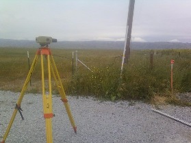
Our personnel have ran over 500 miles of precise levels throughout the Santa Clara Valley directly for the Santa Clara Valley Water District and to establish vertical control on our own surveys. We are familiar with the network of vertical control bench marks in our area and the procedures to follow in order to ensure accurate results.


